 el
el
Laboratory Manager: Georgios Bourandas, Assistant Professor,
Email:
Tel. : +30 26310 58443
The Agricultural Hydraulics Laboratory of the Department of Agriculture of the University of Patras aims to acquire knowledge in the subjects of hydrology, hydraulics and their application in the design of irrigation and drainage.
The Agricultural Hydraulics laboratory is located on the ground floor of the K24 building of the Department of Agriculture (Room I24).
Research interests
The main research objects of the laboratory are:
- Development of water management practices and methods for efficient and sustainable use of water and increased agricultural production
- Mitigation of the negative effects caused to the environment by the overconsumption of water
- Analysis and simulation of processes between plants, soil and atmosphere
- Irrigation planning and forecasting
- Spatial integration methods
- Measurement analysis and parameter estimation
- Applications of mathematical and computational techniques in water management – hydroinformatics
Course Teaching
The laboratory supports courses related to Irrigation – Drainage, Agricultural Hydraulics, Soil Physics and Geographic Information Systems.
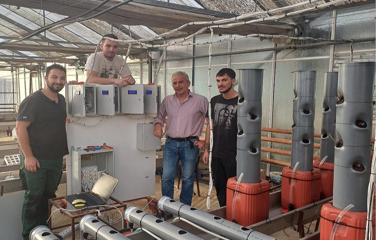
Also in the facilities of the laboratory, students can practice and participate in research through degree theses.
Services
The laboratory provides advice and services to government authorities and organizations and also participates in national and international projects.
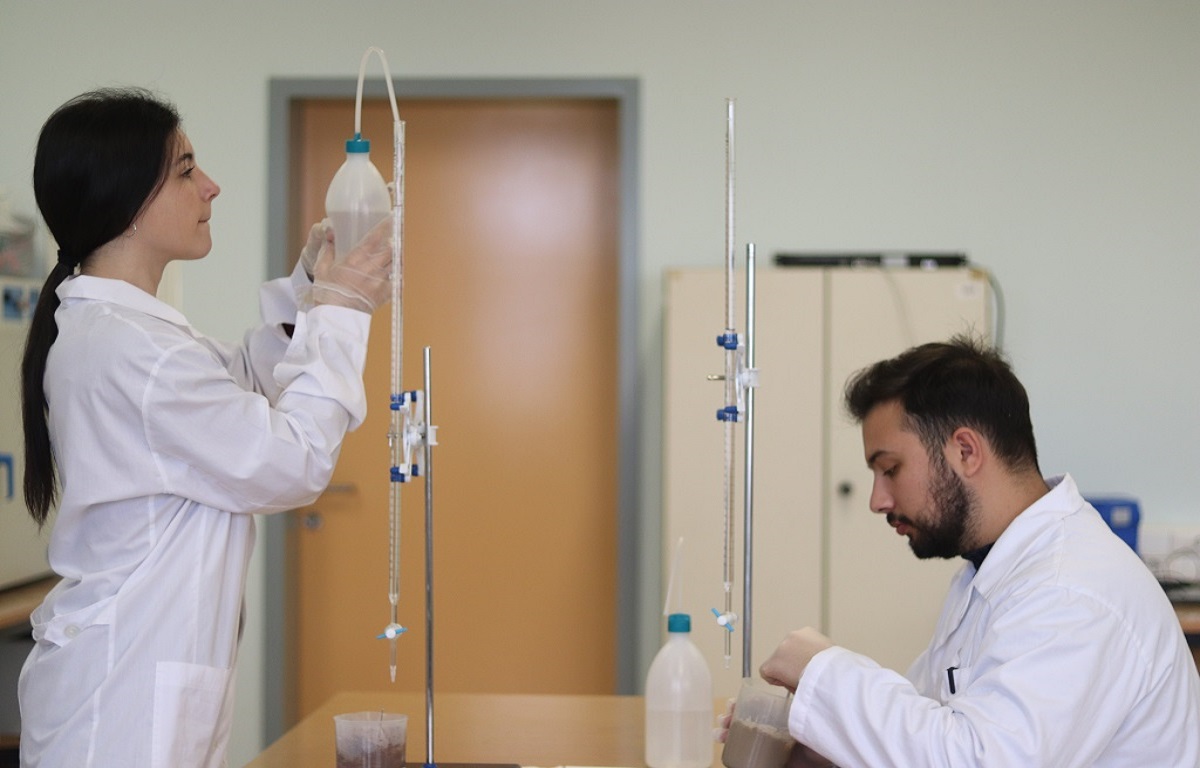
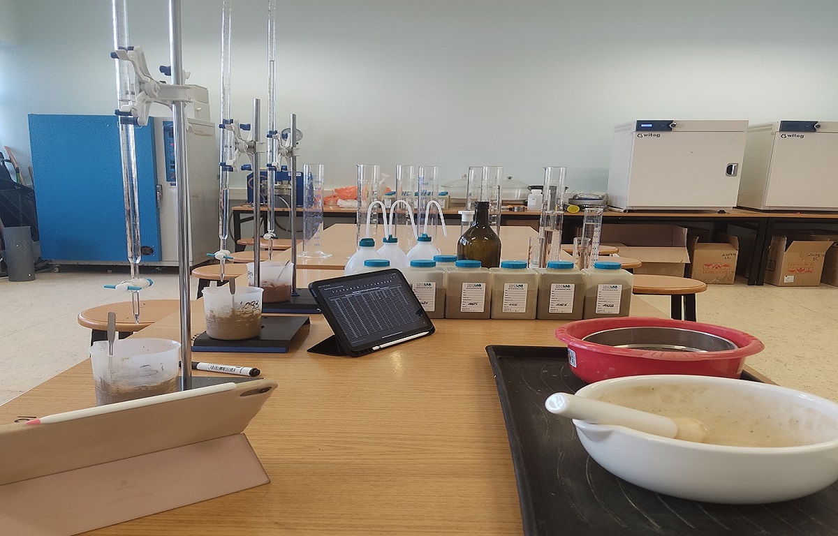
- Laboratory measurements and field work
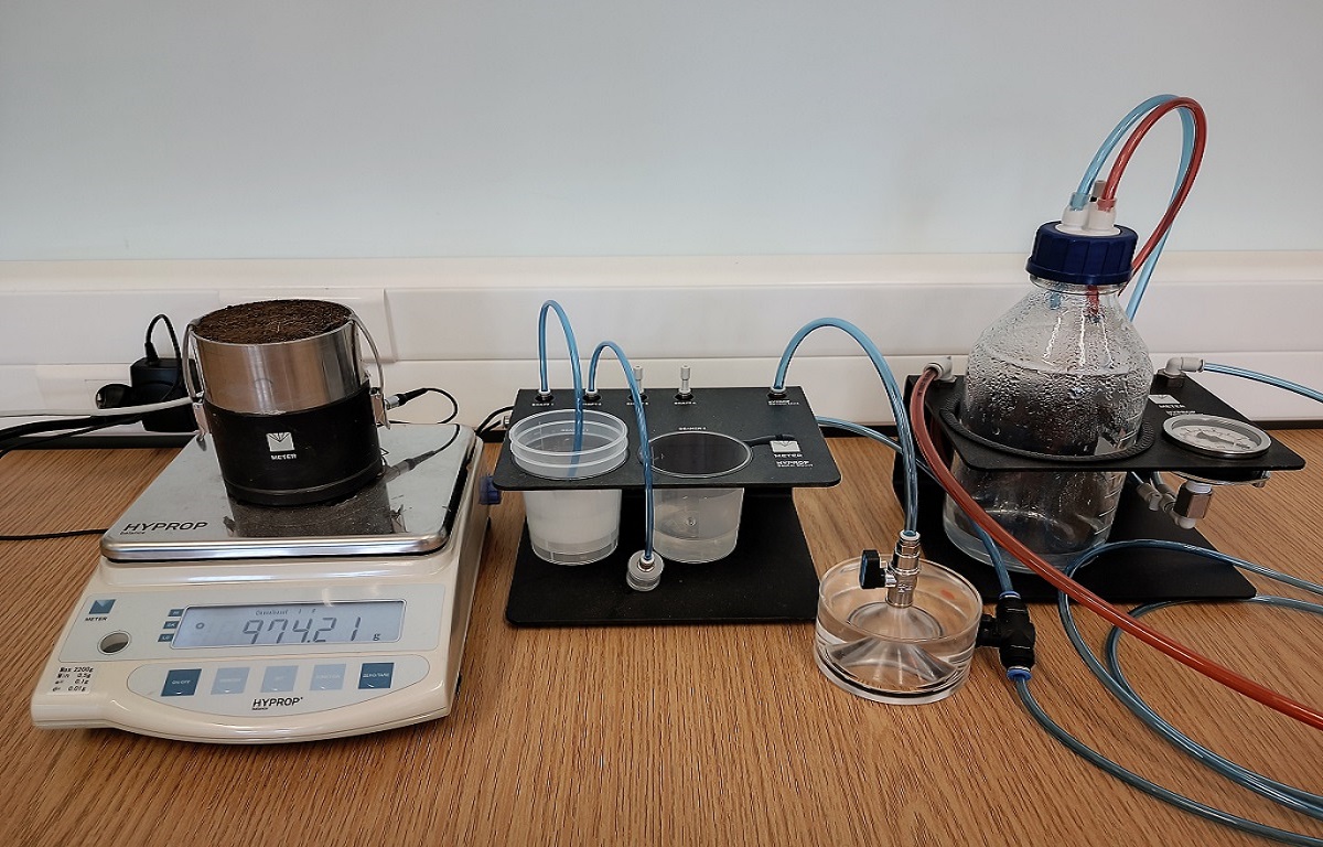
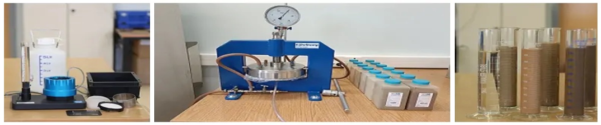
- Characteristic soil moisture curves
- Apparent density and moisture of soil samples
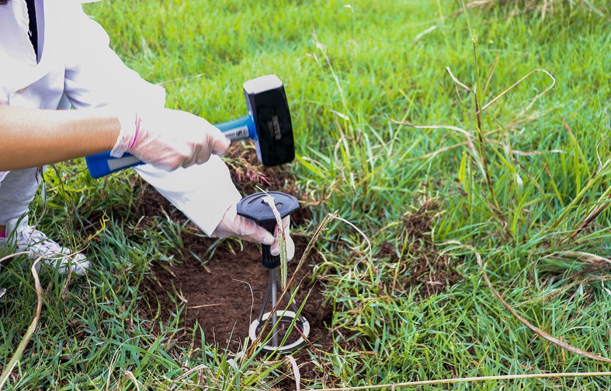
- Hydraulic Conductivity of Saturated Soil with constant, variable load and Guelph type perammeters
- Permeability measurements
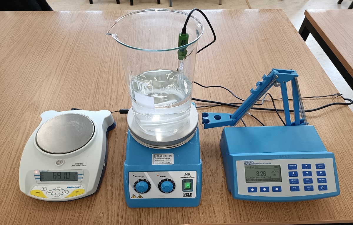
- Soil moisture monitoring and measurements using microwave (TDR) and electromagnetic sensors
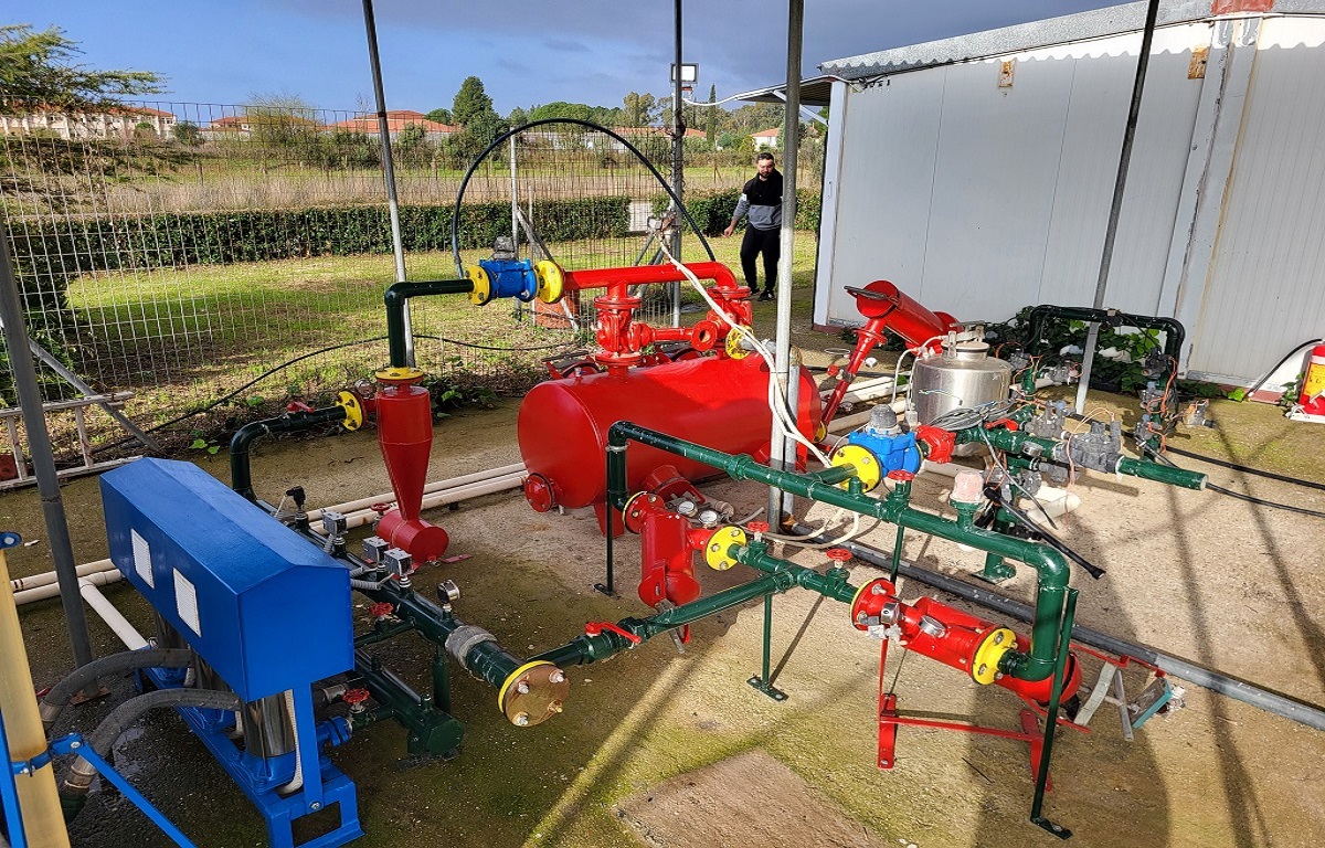
- Planning of irrigation networks using special software
- Inspections of irrigation networks
- Geographic Information Systems
- Data collection with GPS, digitization
- Production of thematic maps
- Spatial analysis